JAP | ENG
Singapore’s Early Days 1970s
#6/10
Sentosa Island
Harbourfront in the early 1970s
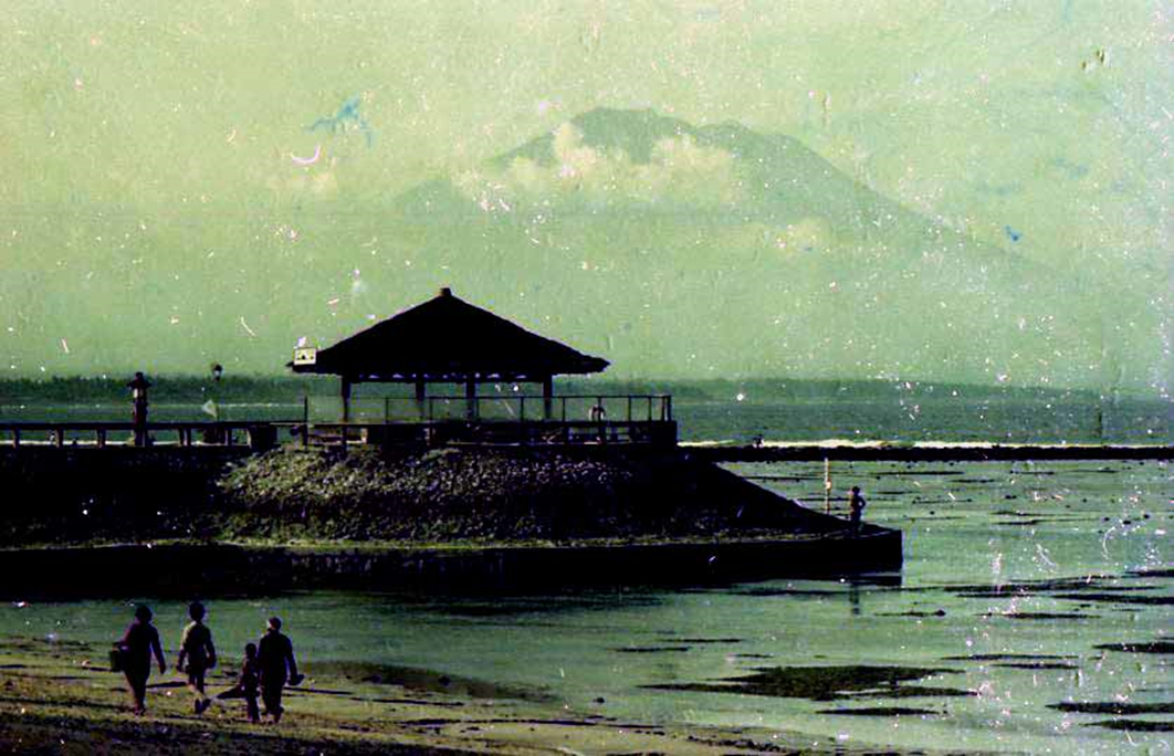
This is an early 1970s view of the narrow strait between the main island of Singapore and Sentosa Island.
This strait is about 2 kilometers wide, but the water is deep enough for large ships to enter.
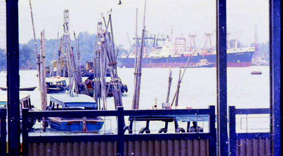
Singapore Harbourfront, Photo by author, 1973
The tide is so fast in this strait that small wooden boats can be trapped inside wooden piles driven into the seabed.
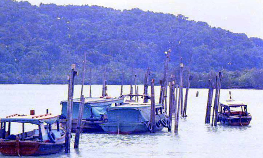
Singapore Harbourfront,
Photo by author, 1973
In the late 1980s, international shipping routes to Indonesia, Batam Island, and Bintan Island were realized. As an international port, immigration and customs were set up at this harborfront, and privately owned boats and privately operated tourist boats were prohibited from entering.
In 1970, a privately owned fiber motorboat was still rare.
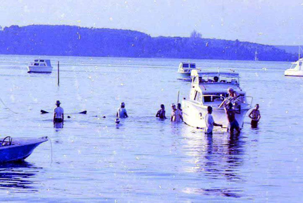
Singapore Harbourfront,
Photo by author, 1973
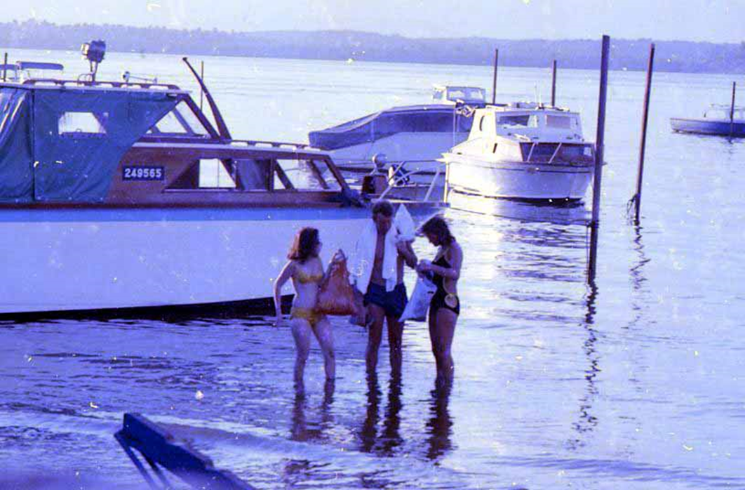
Singapore Harbourfront,
Photo by author, 1973
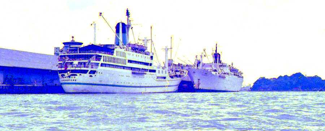
Singapore Harbourfront,
Photo by author, 1973
Gun batteries on the lush Sentosa Island
FORT SILOSO. An important British military facility, where artillery batteries were placed to defend the port of Singapore, was located on top of this jungle.
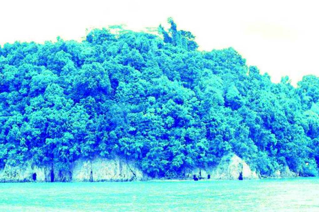
Tour of Sentosa Island, Singapore
Photo by author, 1973
A Budget-friendly harbourfront
Here on the harbourfront, facing Sentosa Island, there are always a few wooden barges standing by. In the 1970s, the price of a daily hire with a boatman was $50 at the time. (In the foreground of the photo below)
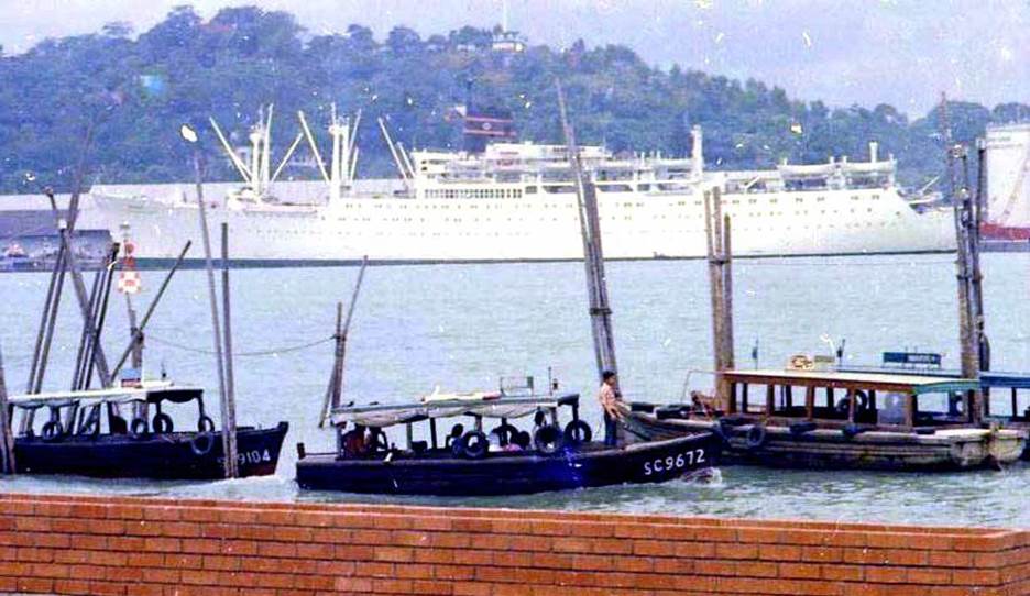
Singapore Harbourfront,
Photo by author, 1973
Wooden motor boat (pom-pom boat)
On Sunday, I chartered a wooden boat with a boatman from 9 a.m. to 5 p.m. with other Japanese expatriate families and enjoyed exploring Singapore’s outer islands and scuba diving.
At that time, before the reclamation work in this area began, there were many coral reefs and many tropical fish swimming around. It is also an area with strong currents, so it was necessary to have a the boat drifting nearby.
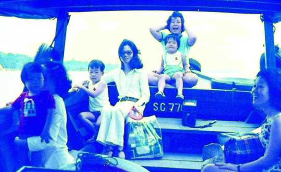
Tour Singapore’s outer Island, Singapore,
Photo by author, 1973
Sentosa Island before it was developed for tourism.
There are no man-made structure.
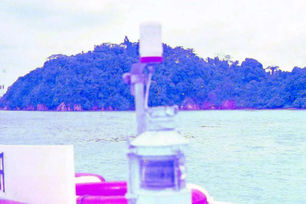
Tour of Sentosa Island, Singapore,
Photo by author, 1973
A family has a deserted island all to themselves for the weekend
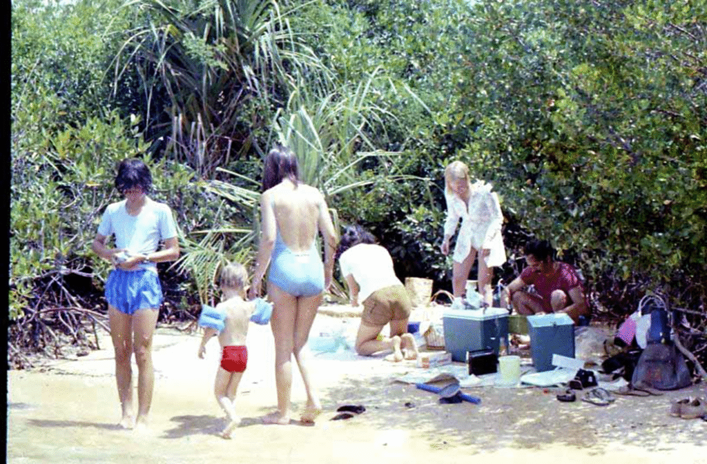
A small island off the coast of Singapore
Photo by author, 1973
A remote island in Singapore surrounded by mangrove forests
A family of foreigners living in Singapore having a picnic on a small sandy beach on a remote island in Singapore surrounded by mangrove forests.
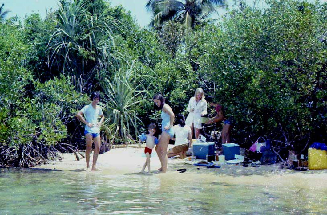
A small island off the coast of Singapore
Photo by author, 1973
Abandoned Sentosa Island
SENTOSA ISLAND was formerly known as PULAU BLAKANG MATI (Malay for “Island of the dead”). In the 1880s, Singapore was defended by the construction of Fort Siloso at the western end of the island to prevent advances from the sea side.
It fell to the Japan army in the opening war with the Japan army in 1942, and was occupied by the Japan army until the end of the war in 1945 and used as a camp for prisoners of war.
When Singapore gained independence in 1965, the entire island was returned from Britain and the name of the island was changed to Sentosa (Sentosa means tranquillity in Malay), a name it has retained to this day.
The road had been abandoned and not maintained for a long time
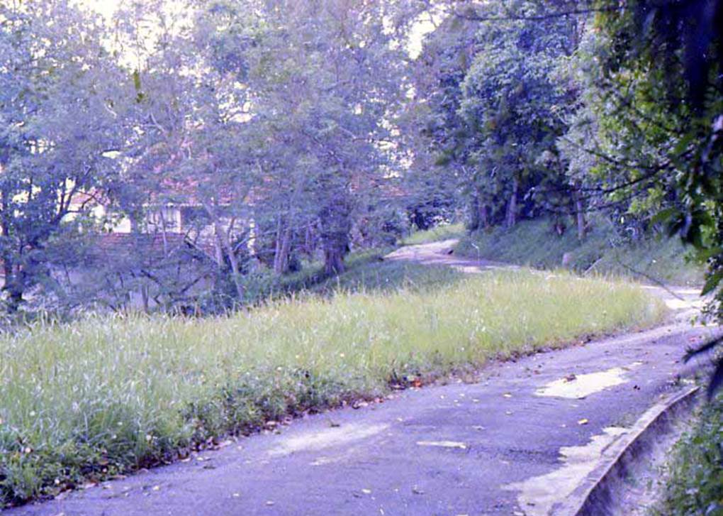
Sentosa Island. Pre-development
Photo by author, 1973
Dirt roads. Abandoned buildings
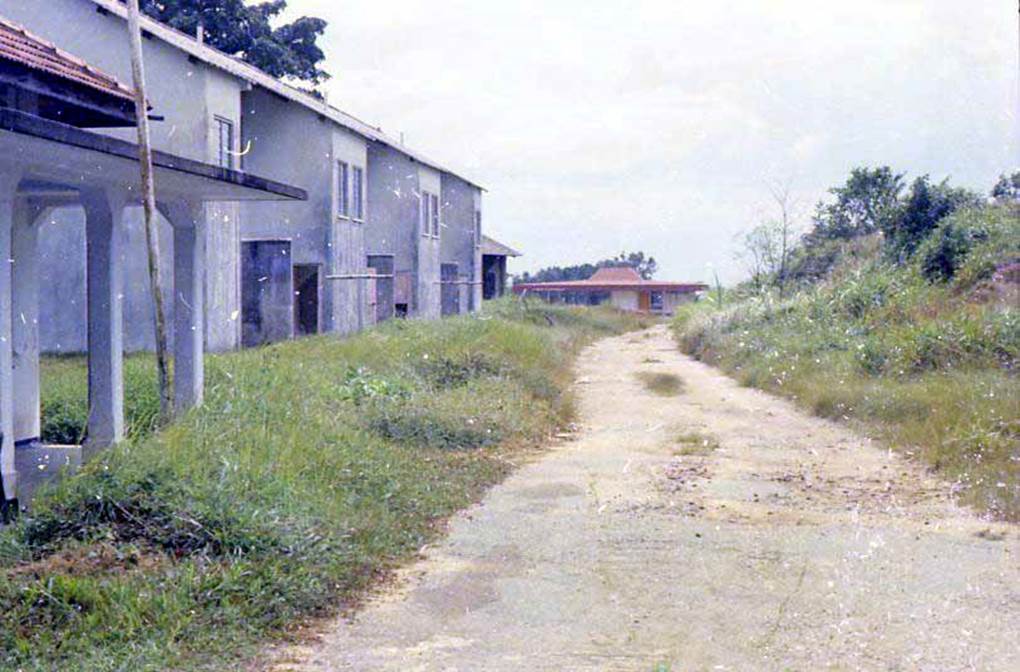
Sentosa Island. Pre-development
Photo by author, 1973
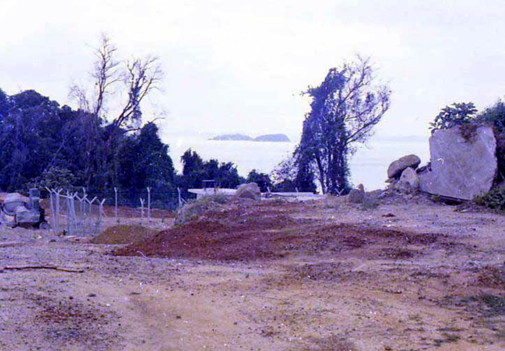
Sentosa Island. Pre-development
Photo by author, 1973
From the top of a hill on Sentosa Island, you can see the international shipping route of the Singapore Strait.
This place is a key location for East-West shipping. However, the only way to get to Sentosa Island was by boat.
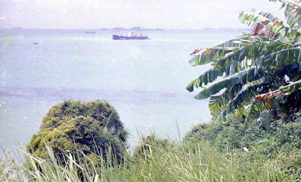
Sentosa Island. Pre-development
Photo by author, 1973
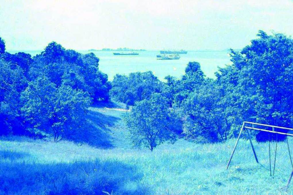
Sentosa Island. Pre-development
Photo by author, 1973
We had the swing set in the garden of the old barracks on Sentosa Island all to ourselves! What a luxury!
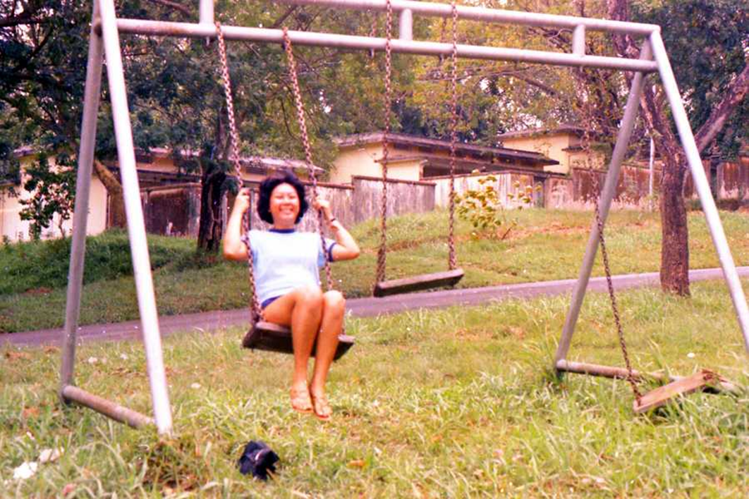
Sentosa Island. Pre-development
Photo by author, 1973
In front of the old barracks that remained on Sentosa Island. There is no one else, it is all to yourself.
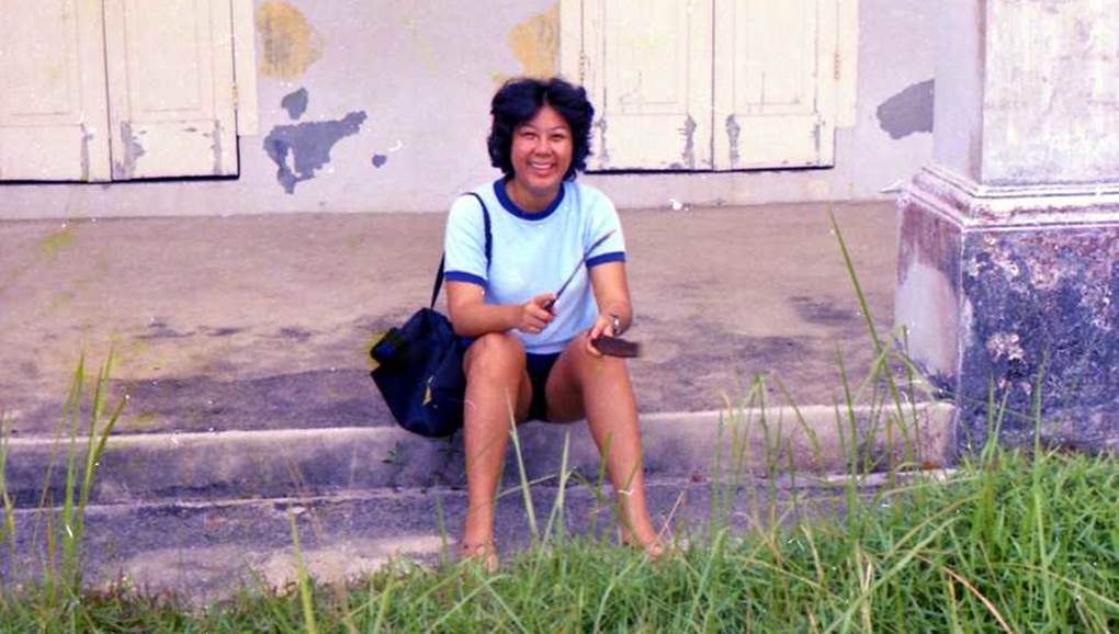
Sentosa Island. Pre-development
Photo by author, 1973
Soldiers’ barracks left by the former Commonwealth Army on Sentosa Island
When British troops withdrew from the area east of Suez in 1968 and Singapore in 1971, a number of military facilities remained.
Some were demolished and cleared into vacant land or for building new condominiums, while others were preserved and repurposed as resort facilities.
Former Commonwealth soldiers’ barracks on Sentosa Island.
In 1971, due to the withdrawal of British troops, it was taken over by the Singapore government, and it was restored and used as a resort hotel.
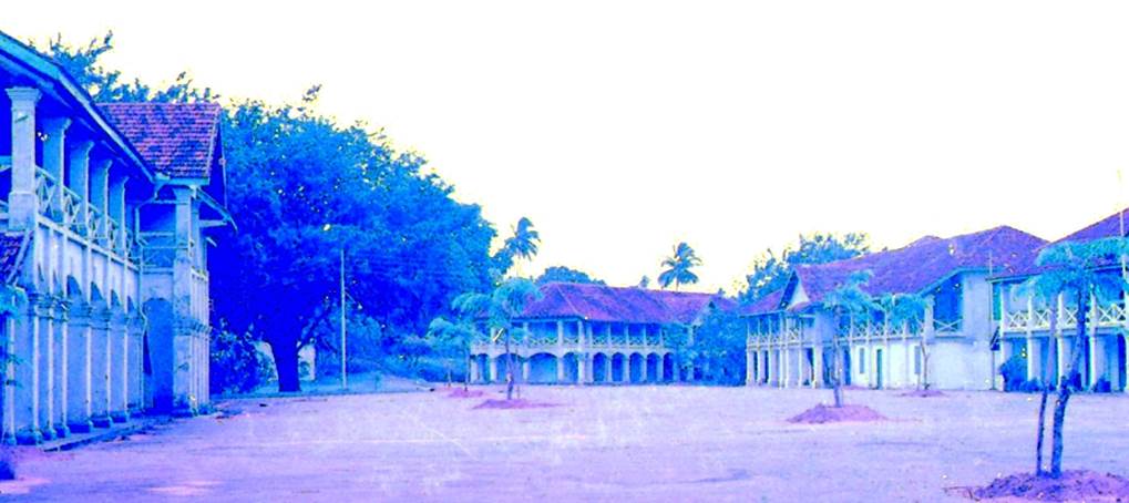
Photo by author, 1971
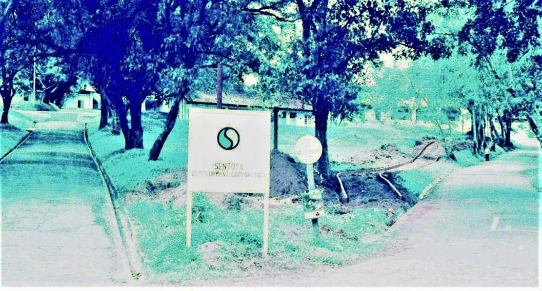
SENTOSA DEVELOPMENT CORPORATION SIGNBOARD
There is one small sign, and there are no people around. From this period, Sentosa Island underwent a great transformation.
Following early boat transport, a cable car line opened in 1974, stretching 1.6 kilometres from Mount Faber on the Singapore mainland to Sentosa Island.
The Sentosa Development Corporation had a policy of prohibiting cars from entering Sentosa Island to avoid air pollution.
In 1983, the oil rigger Derrick, registered in Panama, passed under a ropeway above and hit the cables.
As a result, two cabins sank into the sea at a depth of 55 meters, killing seven people. The incident was a major event for Singapore, which has relatively few disasters.
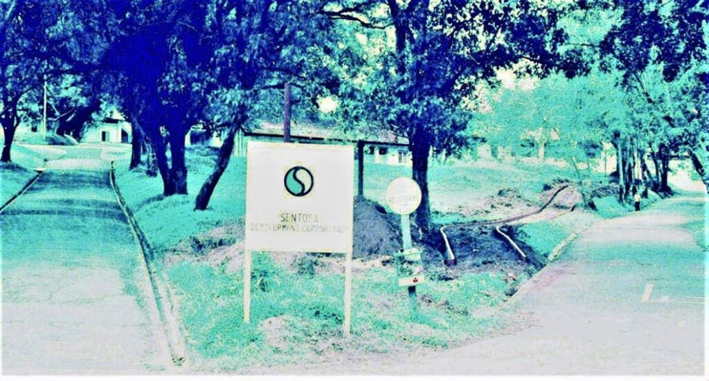
Sentosa Island. PRE-DEVELOPMENT STATE SENTOSA DEVELOPMENT CORPORATION SIGN.
Photo by author, 1973
Dumplings vs flowers
(Practical benefits over appearance and elegance )
Because of this, before we knew it, a road bridge had been built, cars could now enter Sentosa Island, and concerns about air pollution disappeared.
In 2010, Singapore’s first casino opened in Resorts World Sentosa. Subsequently, Universal Studios opened, and a huge parking lot was built.
Sentosa Island, which was once covered in greenery, has been transformed into an island with a concentration of man-made objects due to the policy of maximizing income from tourism development resources.
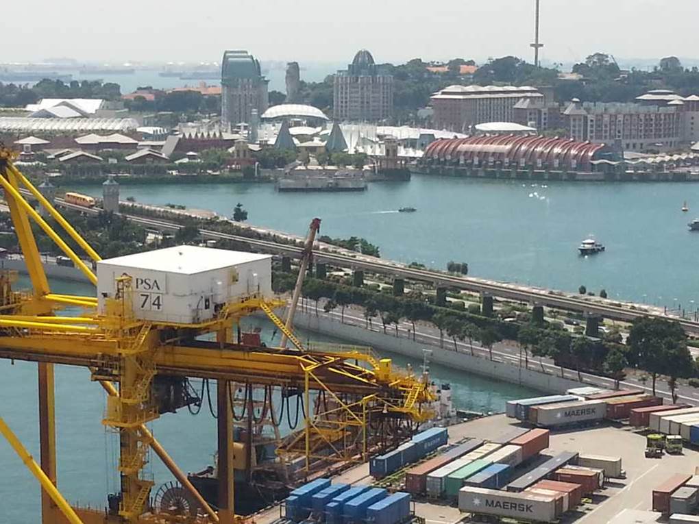
Sentosa Island. State after development
Photo by author, 2013
Sentosa Cove
Sentosa Cove was partially completed in the mid-2000s.
Since it is the only area in the country where foreigners can buy real estate with land, it has become a city where super-rich people and real celebrities from all over the world live.
Real estate prices are 200 million yen (USD1.35 million) for condominiums and 600 million yen to 3 billion yen (USD 4million to USD 20 million) for detached (landed) houses, a world that has nothing to do with us ordinary people.
Many detached dwelling units have a private cruiser berth.
Below is a map of Sentosa Cove, a new development aimed at wealthy foreigners that was completed by reclaiming land for the entire residential area on the eastern side of Sentosa Island.
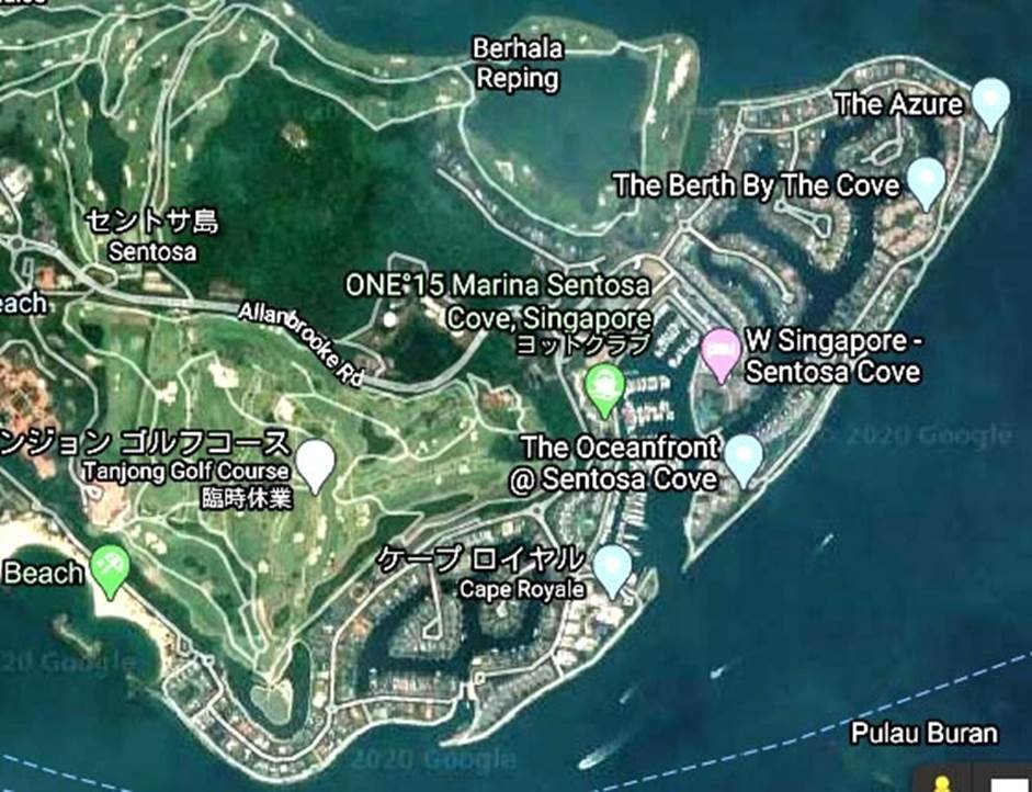
Sentosa Island. Post-development state
A group of detached dwelling units with berths for private cruisers in Sentosa Cove. In 2006, a developer I knew in Indonesia bought it for personal use, so I accepted the invitation and went to see it.
The state after development of detached housing with cruise ship moorings
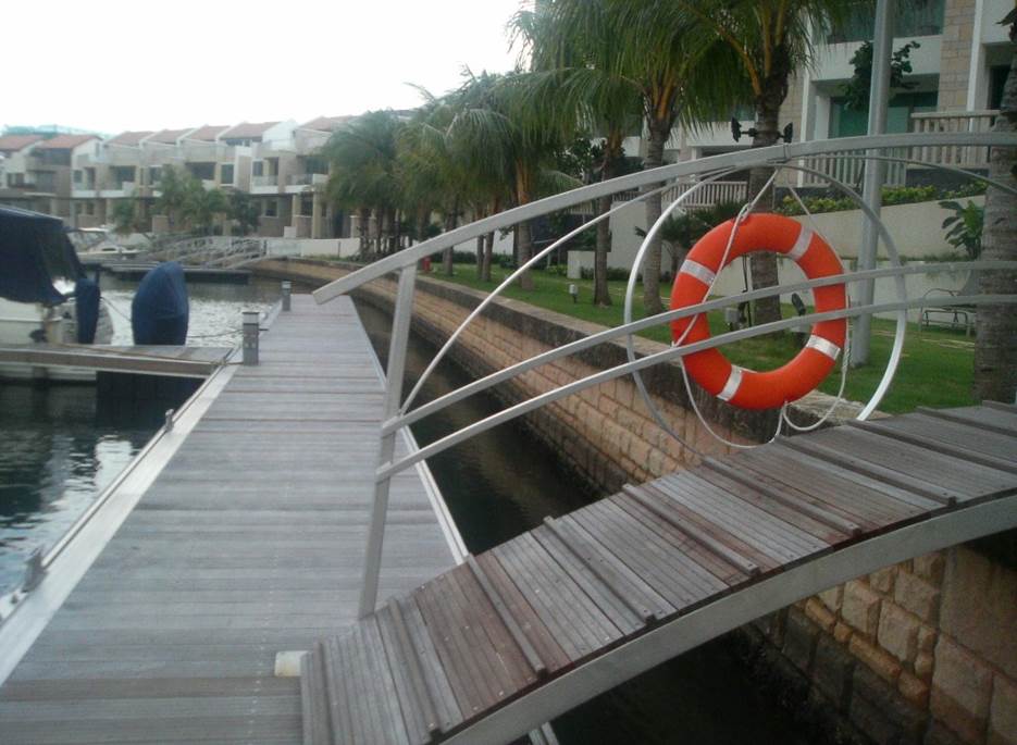
Photo by author, 2006