JAP | ENG
Dhaka, Bangladesh
2011~2014
#3/3
Bengal Plains and Delta
What is the cause of the creation of an overcrowded, congested city like Dhaka?
Before answering that question, we must understand the unique geographical characteristics of the country of Bangladesh.
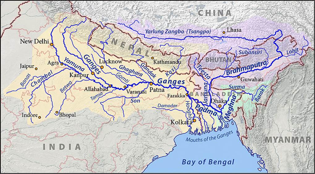
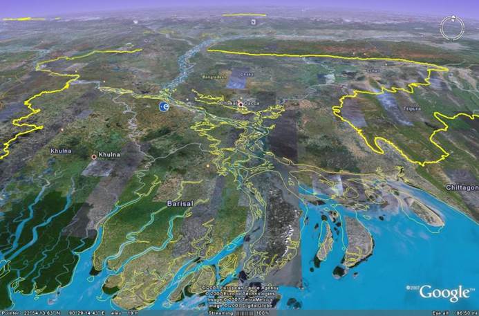
Bangladesh is located in the region of the great delta where the Ganges and Brahmaputra rivers meet and flow into the Bay of Bengal. The area of the Ganges River basin is 1,080,000 km2, and the Brahmaputra River is 651,000 km2, giving a total of 1,731,000 km2, which is more than four times the land area of Japan (378,000 km2).
In other words, the rain that falls on an area four times the size of Japan and the melting snow in the Himalayas and Tibet flow through these two great rivers to the Bengal Plain. Most of the water flows through Bangladesh and into the Bay of Bengal. The maximum annual flow of water is 70,000 tons per second in the Ganges River and 100,000 tons per second in the Brahmaputra River, for a total of 170,000 tons per second, which is more than 200 times the flow rate of the Tone River.
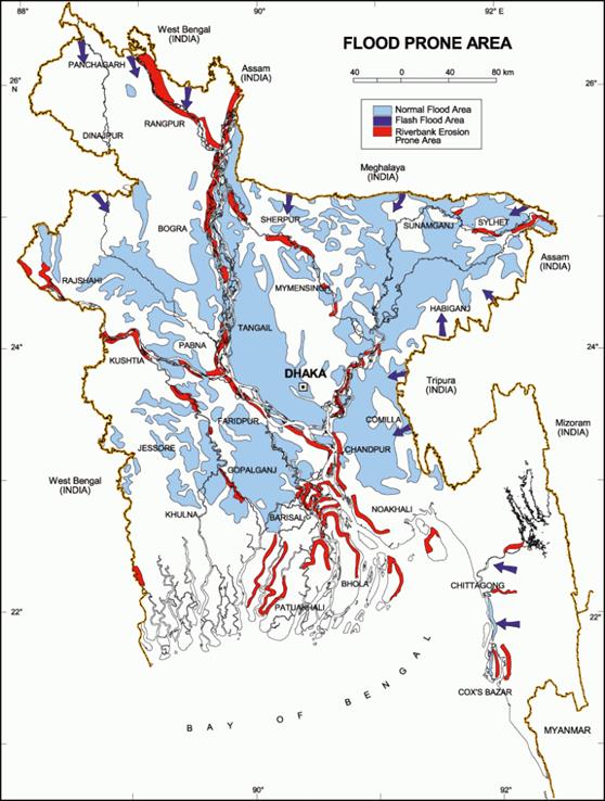
These two rivers are joined by the Meghna River near Dhaka. As a result, the soil carried by the great rivers forms fertile plains. However, during the peak of the rainy season, flooding is a constant worry. Domestic traffic is divided due to the difficulty of building bridges over these great rivers, hindering the flow of goods and becoming a major obstacle to the country’s development.
In 2017, Bangladesh had a population of 166 million, while Russia had a population of 146 million. The land area of Bangladesh (148,460 km²), which is 40% of the area of Japan. The land area of Russia is 17,100,000 km², more than 10 times Bangladesh. It can be seen that the population density of Bangladesh is alarmingly overcrowded. The average life expectancy in both countries is 72 years.
The delta region of Bangladesh, with the Himalayas in the distance.
Flooded areas at the peak of the rainy season. Equivalent to half of the country’s land area. This flooding creates fertile land that can feed a large population. Those who want to earn even better income flock to the capital, Dhaka, resulting in the city to be overcrowded.
Waterfront Zone
I asked a local colleague to give me a tour of the rural areas of Dhaka. When we went out to the suburbs, there was a waterfront area.
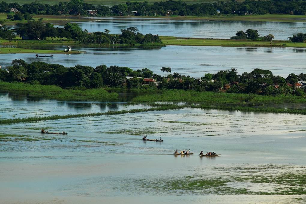
Photo by author, 2011
We continue on, crossing a simple narrow iron bridge.
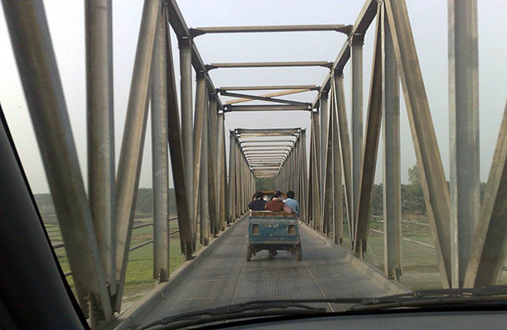
Photo by author, 2011
Take a photo of the soaked bamboo curing on one side of the creek from the bridge.
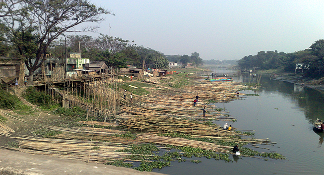
Photo by author, 2011
Historical Background of Dhaka
Islamization began in the 12th century. At the beginning of the 13th century, the Delhi Sultanate came to power. In the 16th century, under the Mughal Empire, it developed into a center of commerce and industry, but even during this period, several Hindu dynasties continued to exist. However, in 1612, under Emperor Jahangir, all of the city except Chittagong came under the rule of the Mughal Empire.
In the 16th century, under the Mughal Empire, the core of the city’s development was established. Trading houses, mosques, caravanserais, and other buildings built on a small hill on the Buriganga River became the riverbank of Dhaka’s origin.
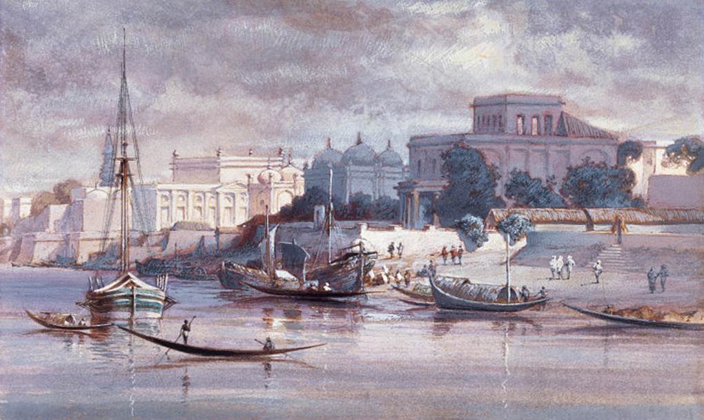
The population of Dhaka reached 450,000 people in the middle of the 18th century as the capital of Bengal. At the end of the 19th century, the capital of the British colony of Bengal moved to the emerging new port city of Calcutta, and the population fell to just under 90,000.
British India was separated into India and Pakistan, and after the civil war, East Pakistan was replaced by the new nation of Bangladesh. Dhaka returned to be the capital of the new nation, and remains a highly populated city to this day.
Buriganga River
The Buriganga River is the major transport hub for the metropolis of Dhaka and the people of rural areas . This area was the starting point for the birth of Dhaka.
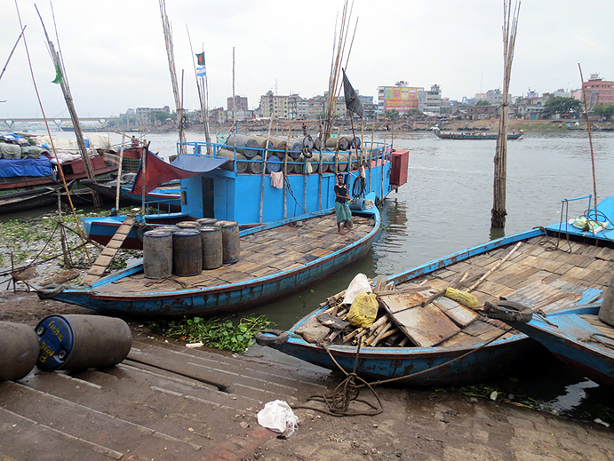
Photo by author, 2013
The river is very muddy and the water is polluted. There is a lot of garbage floating around.
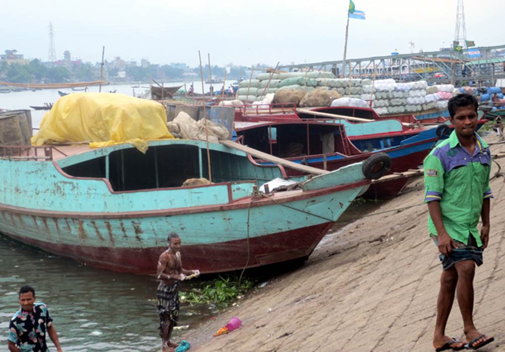
Photo by author, 2013
The current bank of the Buriganga River and the opposite bank. A ferry is waiting on the banks.
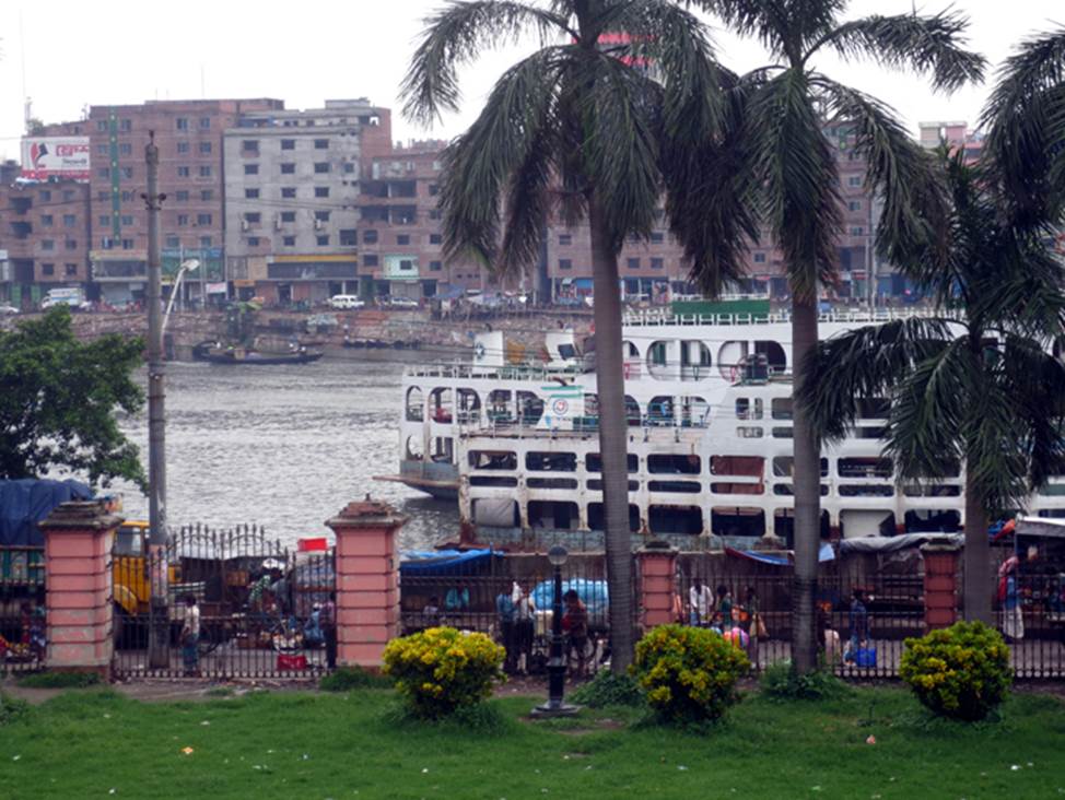
Photo by author, 2013
Dhaka Old Town
A typical road and building in Dhaka’s old town. Despite the congestion, bustling economic activity is taking place.
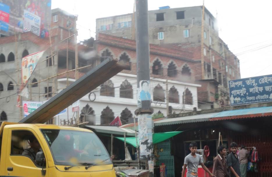
Photo by author, 2013
A backstreet alleyway that looks as if it is being crushed by overcrowded buildings.
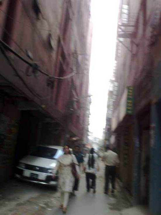
Photo by author, 2013
When prayer time arrives, you will encounter such a scene in the back alleys.
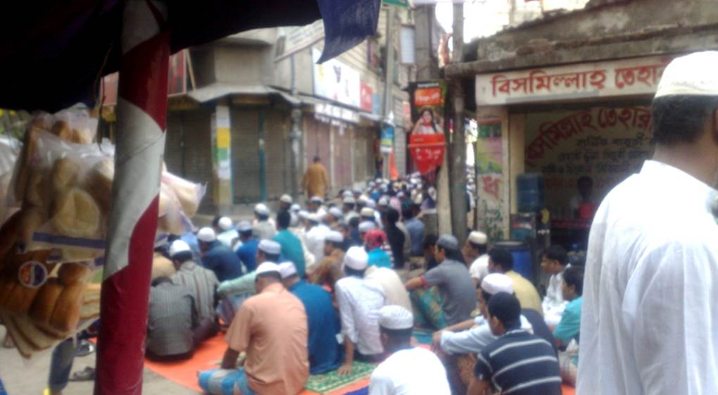
Photo by author, 2013
LALBAGH FORT ARCHITECTURAL HERITAGE
After my first visit to Dhaka, the capital of Bangladesh, I asked a local business associate on my subsequent visits about the highlights of Dhaka’s architectural heritage, and he kindly took the time to take me to Lalbagh Fort.
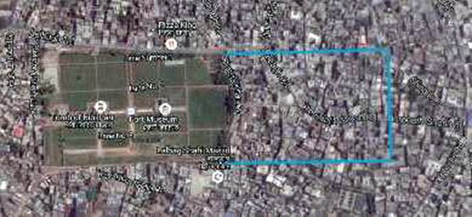
Lalbagh Fort is located almost in the middle of Old Dhaka. It is the remains of a Mughal fort, a complex consisting of a mosque, a royal mausoleum, a governor’s residence, a bathhouse, a museum, etc. The construction of this fort was started in 1678 by the prince of the sixth Mughal emperor, Aurangzeb, but was never completed.
The area of the castle of Lalbagh Fort extended to the interior of the blue line on the map below. It was left unfinished partway through, and as a result of the growing population, houses encroached on the eastern half of the fort, which continues to this day.
In the gardens of Lalbagh Fort.
This architectural heritage space is relaxing, and it’s hard to believe it’s the hustle and bustle of the old town that surrounds it.
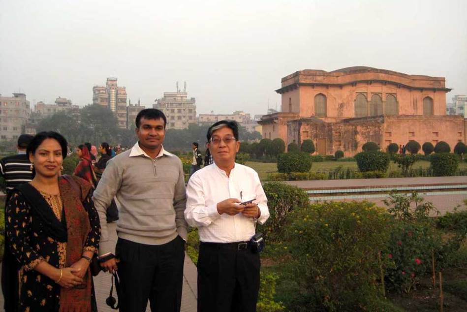
Photo of author, 2013
The soft winter air before nightfall enveloped the castle.
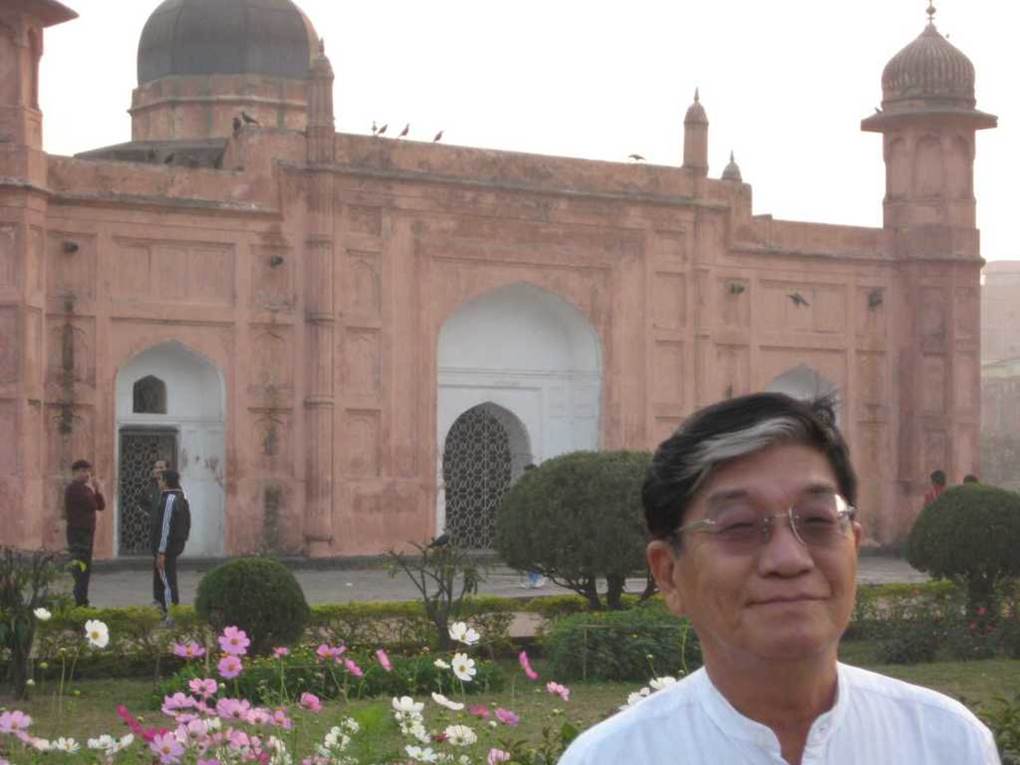
Photo of author, 2013
Enjoying the atmosphere of cultural heritage in a faraway foreign land.
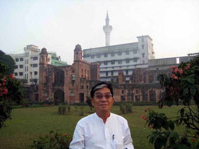
Photo of author, 2013
Sunset at Lalbagh Fort. The setting sun is beautiful. This direction is the west, the direction of Mecca. Muslims, who make up 90% of Bangladesh’s population, pray five times a day facing this direction. They perform the fourth prayer after sunset.
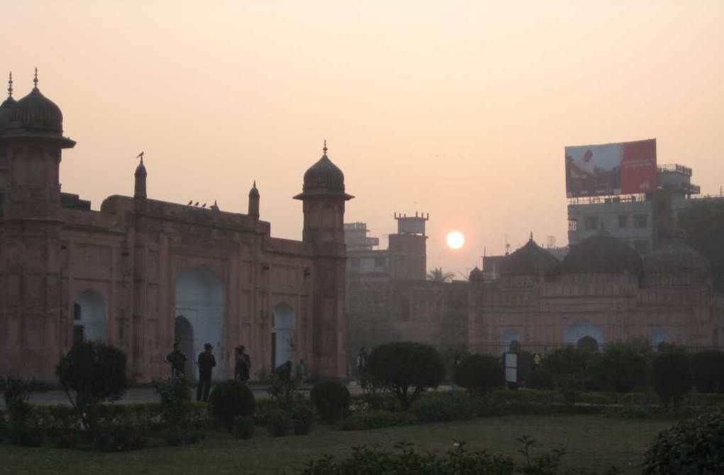
Photo by author, 2013
BARA KATRA (Architectural Heritage) Great Caravanserai
June 2014 13th visit to Dhaka.
On a small hill above the Buriganga River, a building that became the origin of Dhaka was constructed around 1645. It was the official residence of Shahsuja, the second son of the Mughal emperor Shahjahan.
The square ground floor housed stables for horses and camels, a storehouse for storing grain and other goods, and lodging facilities for merchants. There were shops on all four sides of the courtyard, and 22 private rooms on the second floor. This was at the same time a caravanserai and a merchant’s inn.
In the Middle Ages, there were trade routes that led to India, Iran, Central Asia, and even Europe, and caravanserais served as bases for long-distance trade.
At that time, there were huge Islamic states such as the Mughal Empire in India, the Safavid Empire in Iran, and the Ottoman Empire in Turkey.
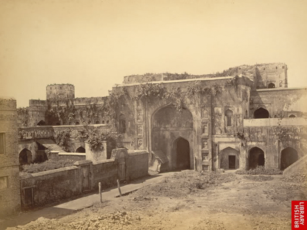
Bara Katra, 1870 photograph from inside the courtyard. This original form has been damaged by the addition of a madrasa (Arabic for an academy in the Islamic world) at the top of the façade.
Source: BRITISH LIBRARY
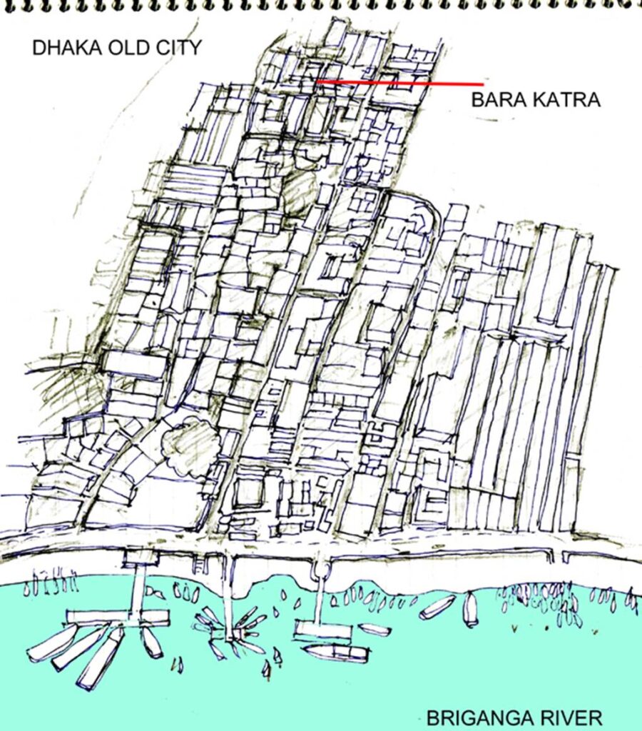
The current location of Bara Katra relative to the banks of the Buriganga.
More than four centuries have passed, and the Old Dhaka area has become a slum due to the increase in population and its pressure.
Barakatra was buried in it.
Author’s sketch
Approach to the main entrance of Bara Katra from the river bank side.
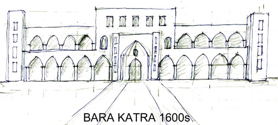
The name BARA KATRA comes from the Arabic word Katara, which means a colonnaded building. The building follows the form of a traditional caravanserai with a courtyard in Central Asia. The sketch below shows the original form of the front of Barakatra. When it was built, it faced the banks of the Buriganga River.
Author’s sketch
On both sides, the remaining approach to the shrine has been narrowed by the construction of mid-rise buildings, turning it into a slum.
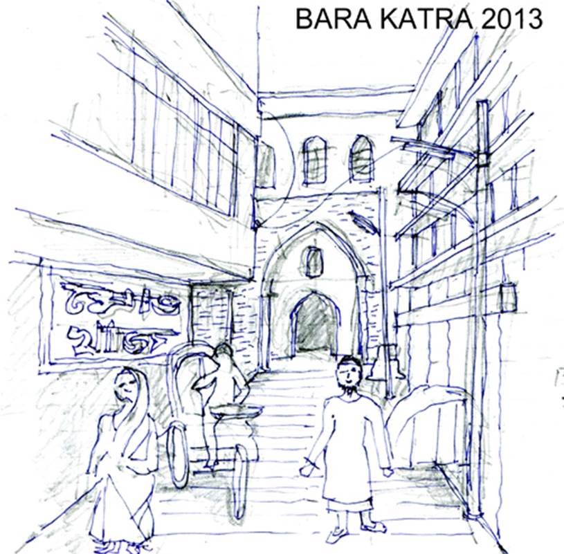
Author’s sketch
Eroded architectural heritage.
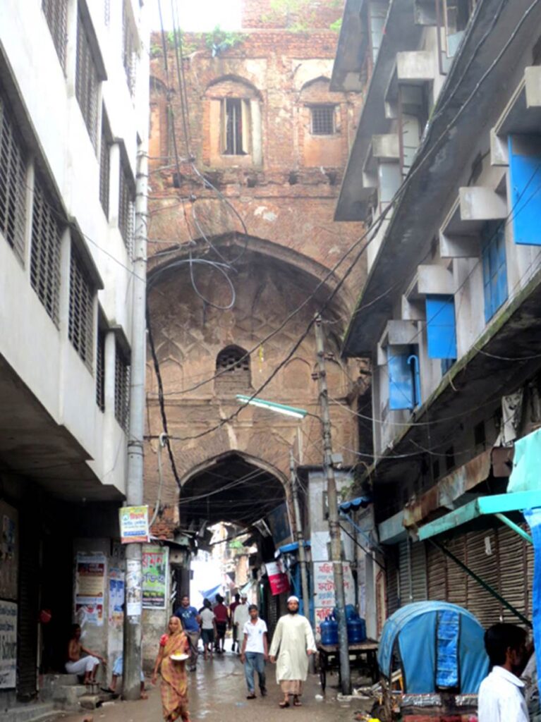
Photo by author, 2013
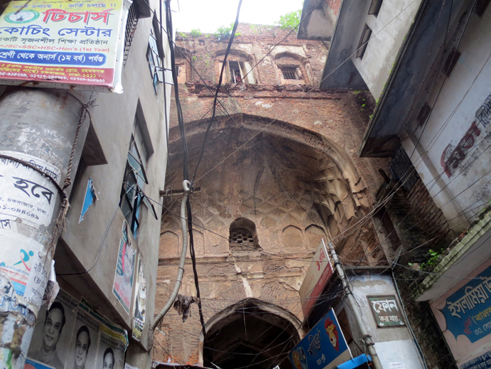
Photo by author, 2013
The exterior plaster walls are almost peeled off and in a state of neglect. Tree roots are digging into the building.
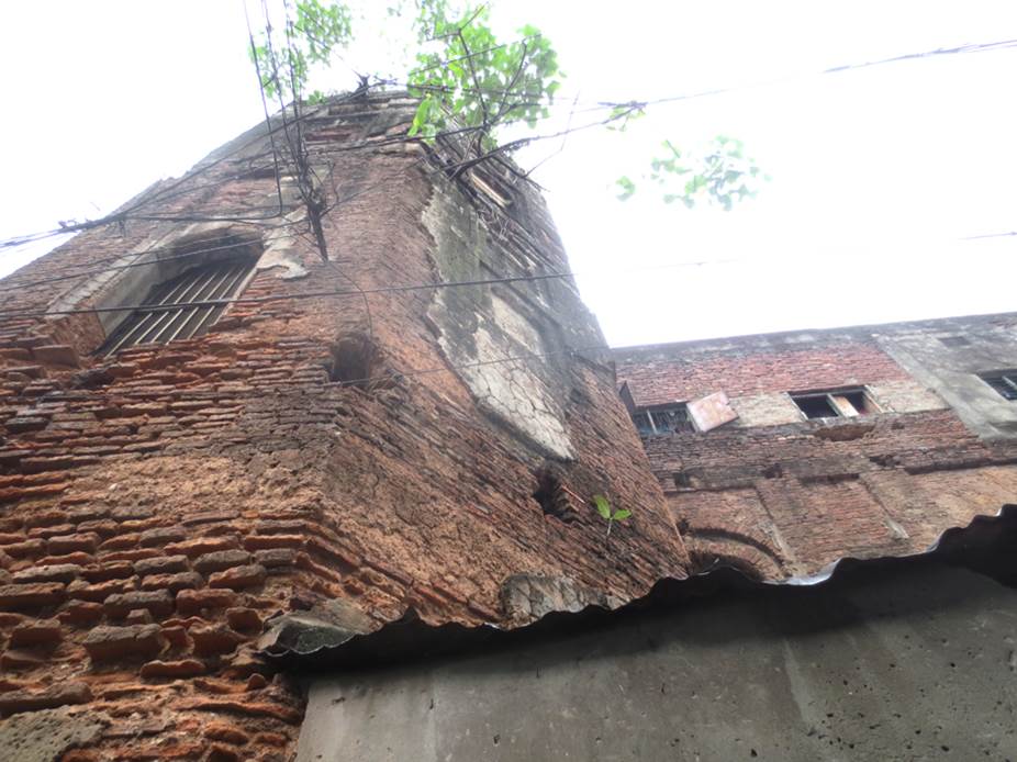
Photo by author, 2013
Exposed sun dried bricks that are over 400 years old.
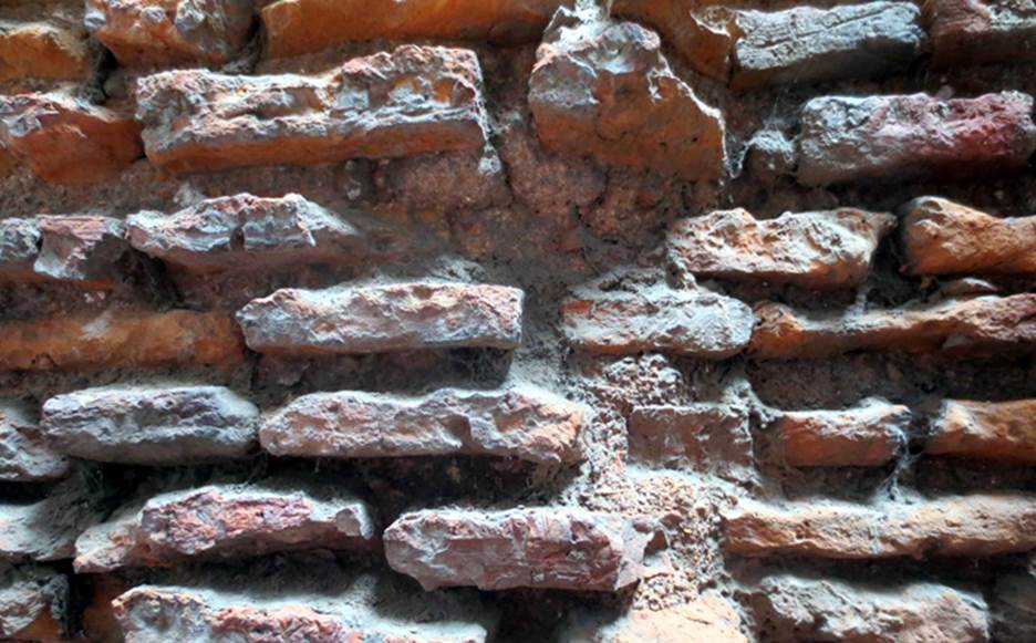
Photo by author, 2013
We were near the madrasa that had been extended onto the roof. The man on the right is a Dhaka architectural engineer who guided us here. It would be difficult to come to a place like this without the guidance of a local person
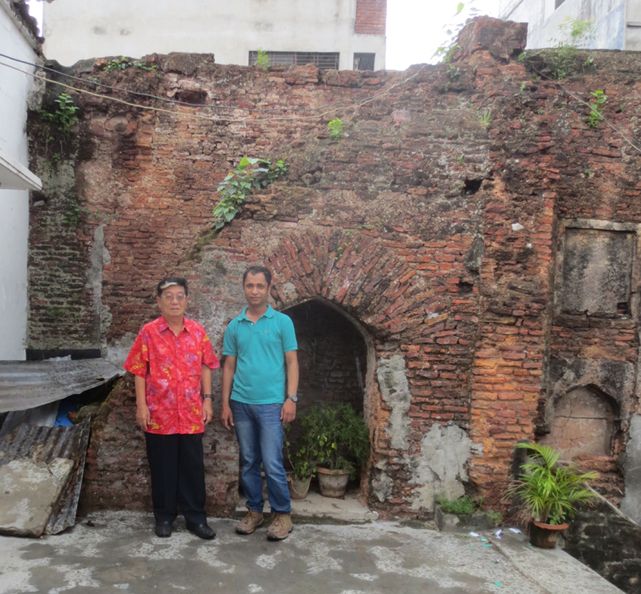
Photo of author, 2013
A view of the outer city from the top floor of the Madrasah at Bara Katra.
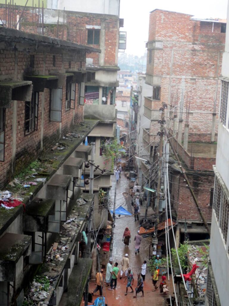
Photo by author, 2013
The original site of Bara Katra is now occupied by numerous tin-roofed buildings, making it impossible to recognize the original form of Bara Katra.

Photo by author, 2013
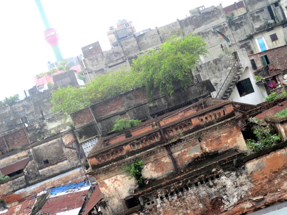
Photo by author, 2013
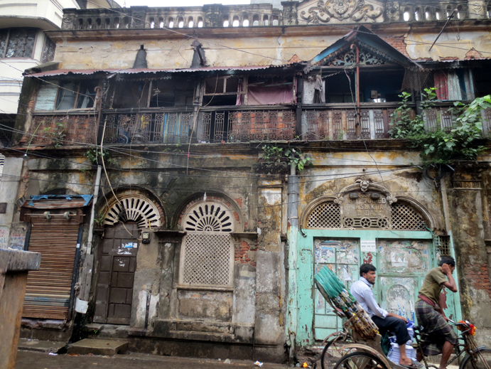
Photo by author, 2013
A gathering place for rickshaws and human-powered transport vehicles.
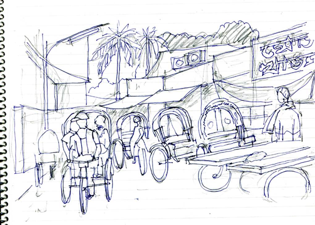
Author’s sketch
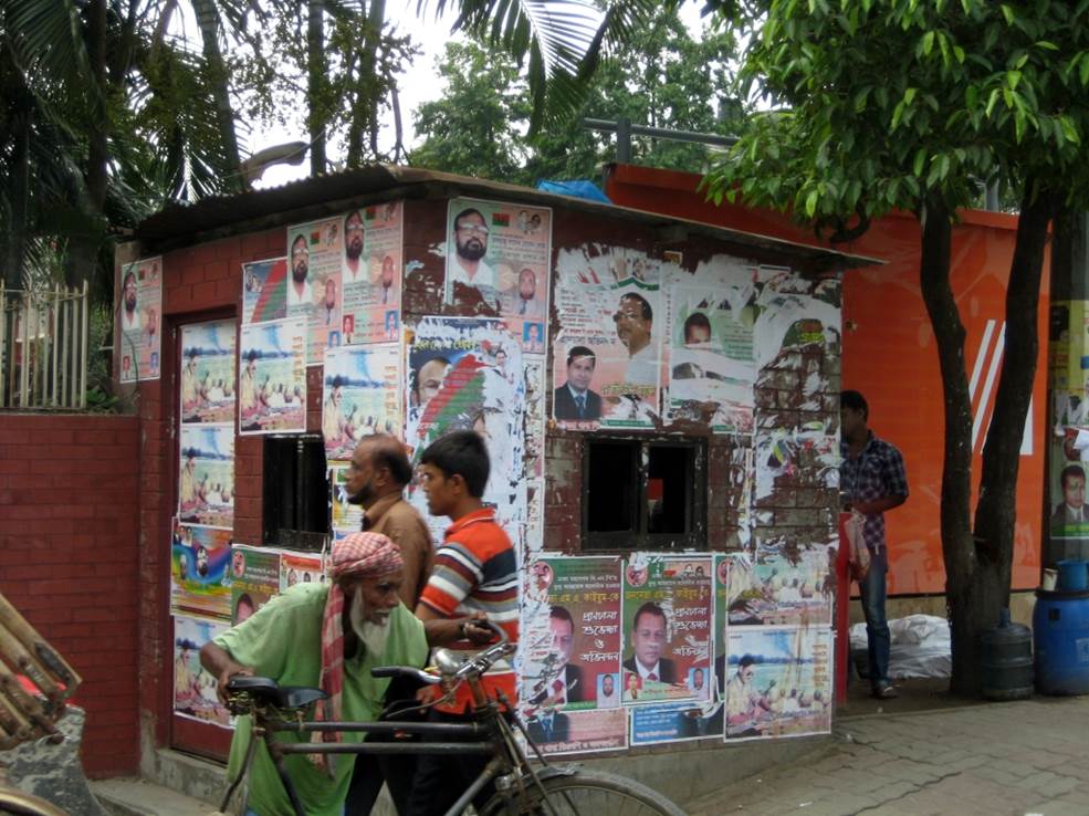
Photo by author, 2013
Street food
Dhaka residents often eat river fish. Fish and shrimp caught in abundance in the area are covered in curry and grilled on a flat iron plate, giving off a fragrant smell that whets the appetite.
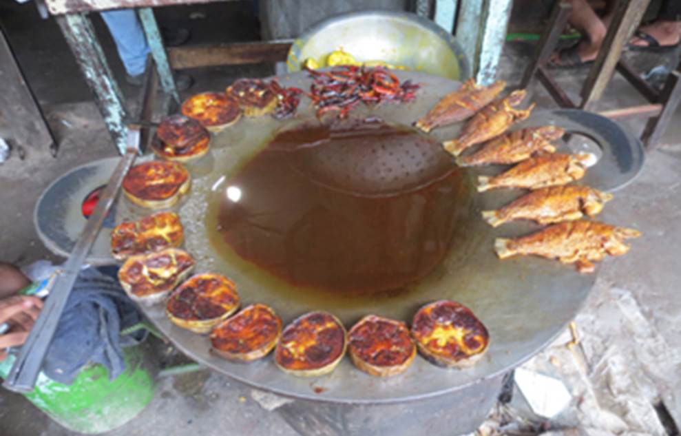
Photo by author, 2013
Briani.
Indian-style pilaf with turmeric. It is often found in Indian restaurants in Southeast Asia. It is made with marinated shellfish and chicken caught from the river. Here, it is sometimes eaten with curry.
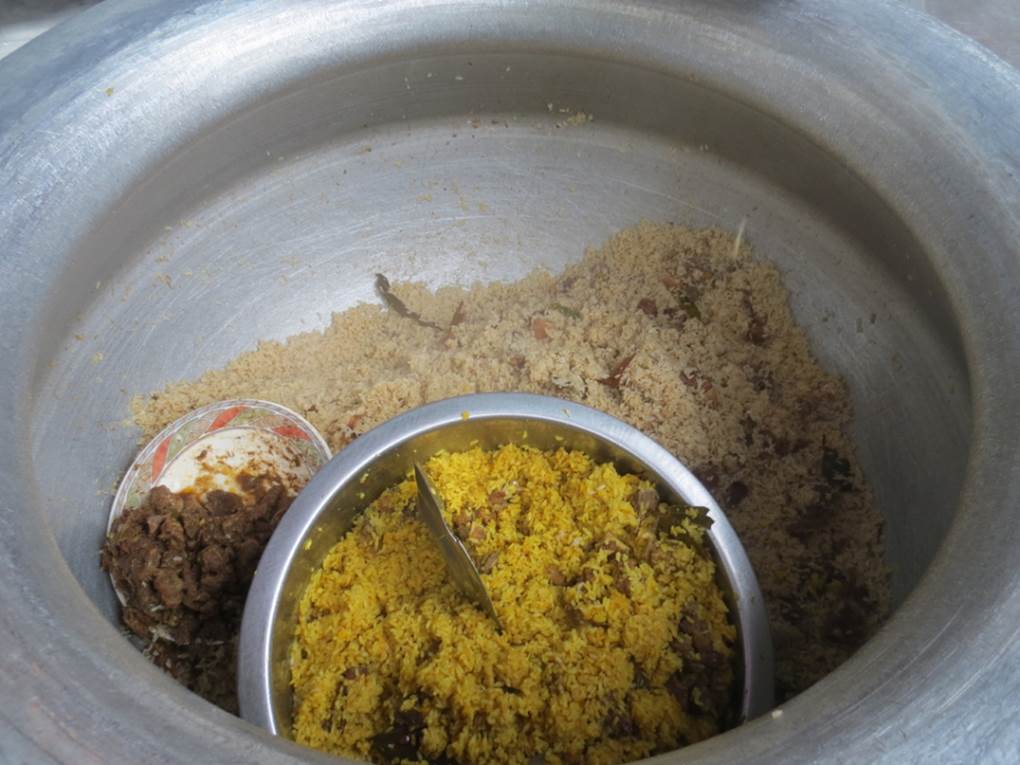
Photo by author, 2013
Photos by author, 2011-2014