JAP | ENG
India Travelogue 2015
#21/26
Darjeeling #1
Sikkim and Darjeeling
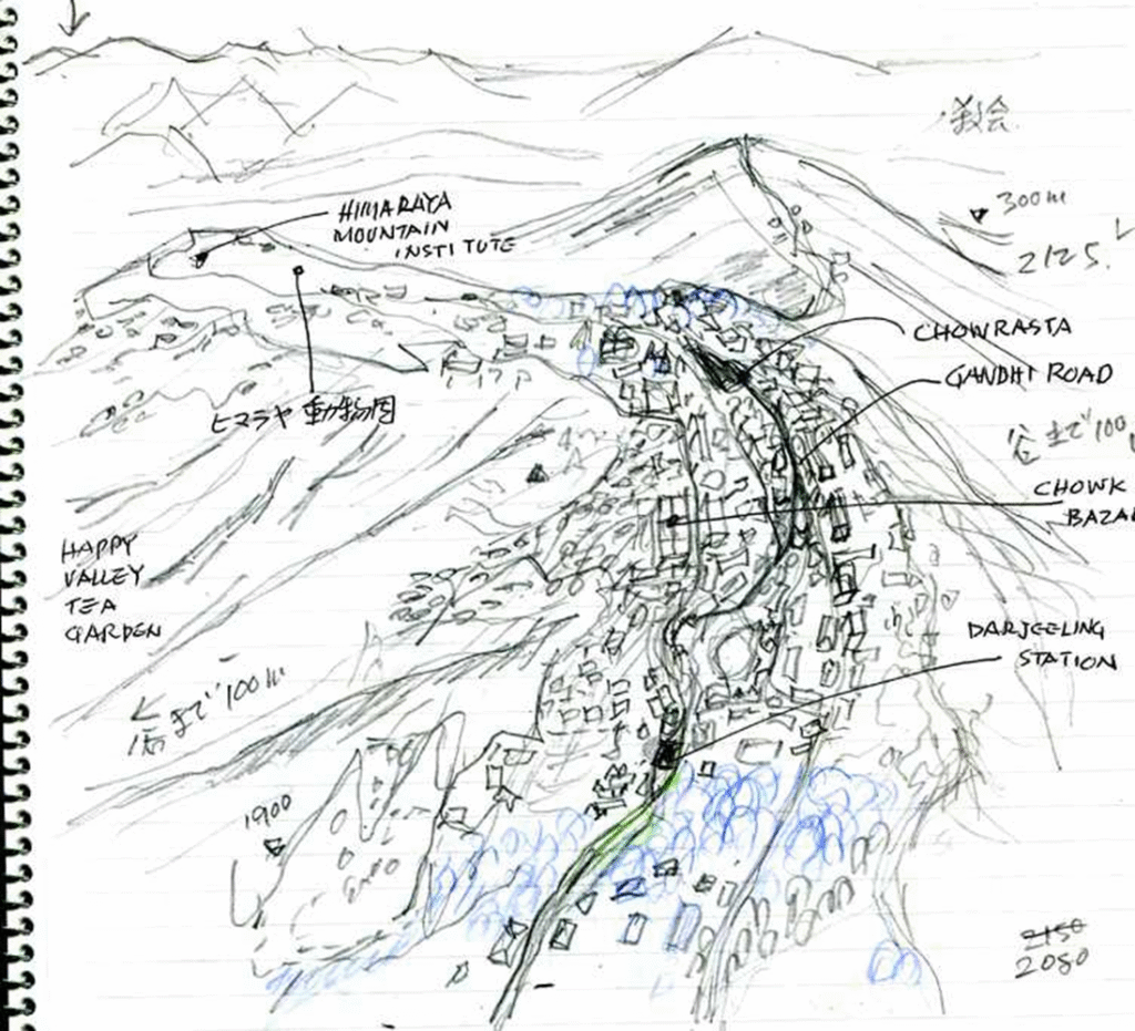
Former Kingdom of Sikkim
The former Kingdom of Sikkim was founded in 1642 by a sect of Tibetan Buddhism in exile and existed until 1975. Surrounded by Tibet to the north, Nepal to the west, and British India to the south, the kingdom was a land of constant conflict due to its complex ethnic composition and complex topography.
Until the beginning of the 19th century, this mountainous region was under the rule of the Kingdom of Sikkim. And part of the plain at the foot of the mountain was the domain of the Kingdom of Nepal.
Darjeeling
In 1828, a delegation from the British East India Company visited the area and confirmed that it was suitable for the recuperation of British soldiers. In 1850, part of the Sikkim region was annexed to India.
In 1866, today’s Darjeeling area came under British administration and was developed as a resort to beat the heat of the Indian lowlands. From 1835 to 1849, the population increased hundredfold.

Author’s sketch
Around 1856, organized tea cultivation began. British settlers began to settle in the area as tea plantation owners, and the brand name Darjeeling Tea spread across the world.
In 1842, a road was built to connect the Bengal plains with this mountain town.
In 1881, a railway line was built between the plains of Bengal and Darjeeling, bringing about a decisive advancement in the transportation of goods.
Taking full advantage of the climate suitable for tea cultivation, plantations expanded, and a large number of Nepalese workers settled there.
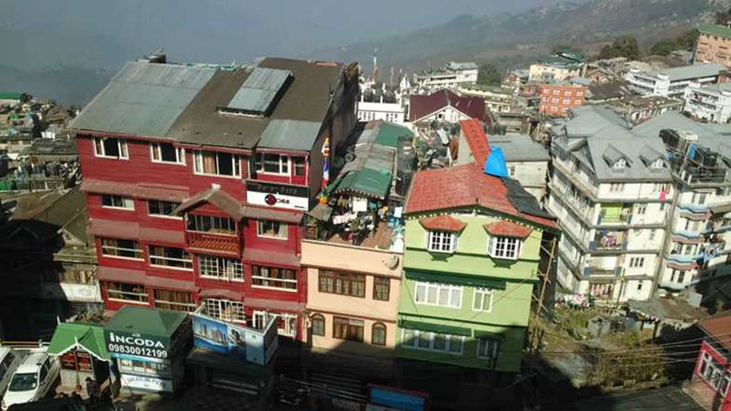
In this way, the overcrowded highland city continues to expand along the narrow ridge like a horse’s back.
The roads along the ridge are overcrowded with buildings and traffic, leaving the town to expand only on the slopes into the valley.
Author’s sketch
Dekeling Hotel Darjeeling
When I was planning my trip, I looked for a hotel in Darjeeling. I looked for a stylish Western-style or resort-style property like those in Karuizawa or Nikko in Japan, but I couldn’t find one.
I also looked for a Maharaja’s mansion-style property like those in India, or a British colonial-style property like those in the Cameron Highlands in Malaysia, but I couldn’t find a hotel I liked.
Then, after understanding the topographical features of this town, I made a reservation at the Dekeling Hotel, which has a view of the Himalayan mountain range. The back of the building is cut into the cliff. The hotel reception was on the sixth floor.
And there is no elevator !
I had to carry my luggage up the stairs to the sixth floor at a high altitude with insufficient oxygen, and I experienced firsthand how difficult it was.

Photo by author, 2015
The hotel room had an old-fashioned fireplace and heating.
The outside air drops below 10 ° C at night.
Before going to bed at night, I had a sip of the Scotch whiskey I brought with me, and then I was in paradise in the Himalayas.
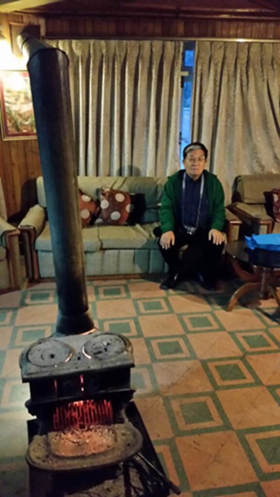
Photo of author, 2015
Taking photos of Darjeeling’s cityscape from the hotel lobby.
The morning after we arrived in Darjeeling, it was a very rare sunny day for this area.
The pure white snowy mountains of the Himalayas were visible from the hotel lobby. It turned out that choosing this hotel was the right decision.
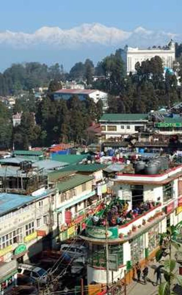
Photo by author, 2015
Darjeeling is the capital city of Darjeeling Province in the Indian state of West Bengal. The population was 118,805 as of March 1, 2011.
The average elevation is about 2134 m.
The following photos were taken with a telephoto lens from the hotel lobby.
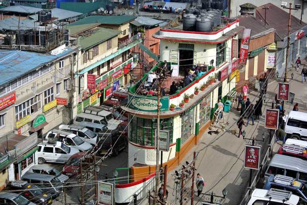
Photo by author, 2015
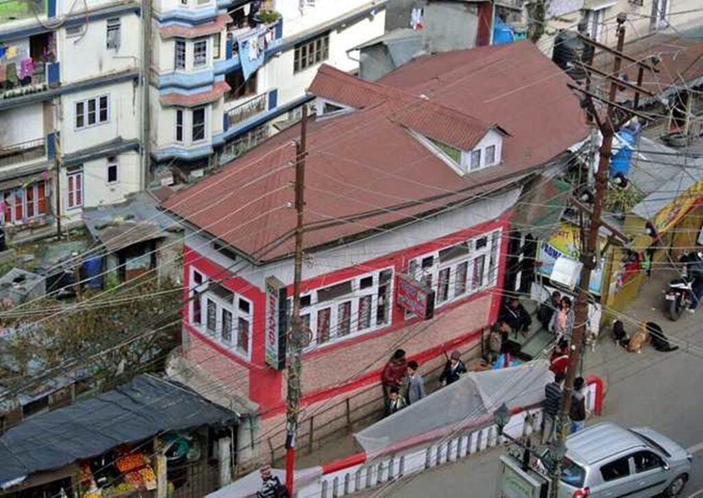
Photo by author, 2015

Photo by author, 2015
Tightly packed buildings
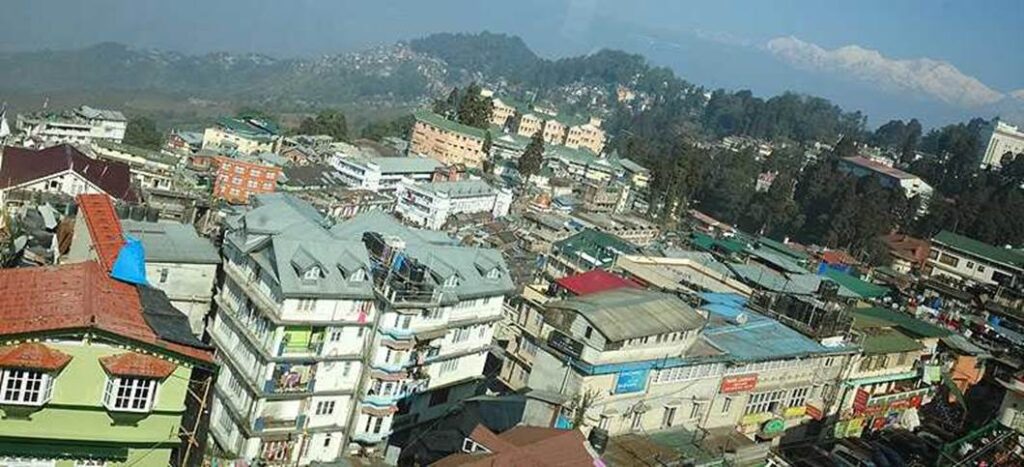
Photo by author, 2015

Photo by author, 2015

Photo by author, 2015
It seems to be a dormitory for construction workers, or perhaps it is public housing?

Photo by author, 2015
Views of the Himalayas
Kanchenjunga Mountain, 8,598m
Kanchenjunga is known in Tibetan as “the five great treasures of snow.”
It is located on the border between northeastern Nepal and Sikkim, India.
Kanchenjunga is the third highest mountain in the world at 8,586m, after Everest (8,840 m) and K2 (8,611 m).
It was considered the highest peak from 1838 to about 1850.
The third highest in the world.

Photo by author, 2015
From Kolkata, I travelled all the way overland to Darjeeling for 14-15 hours to take this picture.
According to the local guide, it was a foggy day a week before we arrived.
Even throughout the year, such sunny weather is very rare.

Photo by author, 2015

Photo by author, 2015
The tip of the ridge is a protected forest, and the town extends under the cliffs.
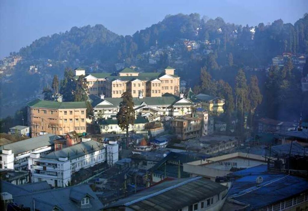
Photo by author, 2015
Darjeeling’s city center was established along the mountain ridge, and the subsequent expansion of the city due to population growth has expanded from the ridge into the valley.
The mountain slopes have been developed, and various residential buildings have been built.

Photo by author, 2015
The main streets of Darjeeling
Darjeeling district government office building.
This building dates back to the late Edo period.
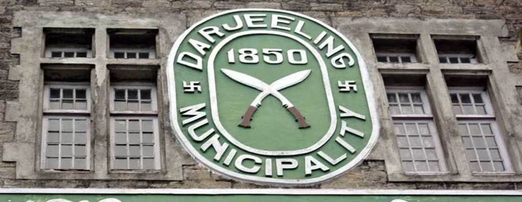
Photo by author, 2015
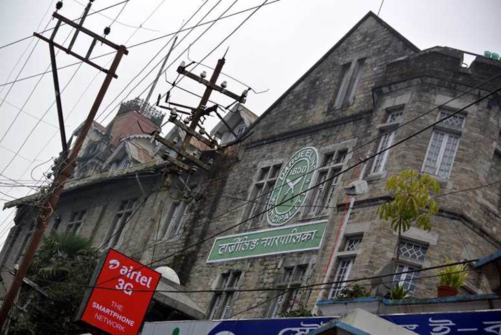
Photo by author, 2015

Photo by author, 2015

Photo by author, 2015
Commercial district in the heart of Darjeeling city centre.
The blocks around here are all hilly roads and there are no straight roads.
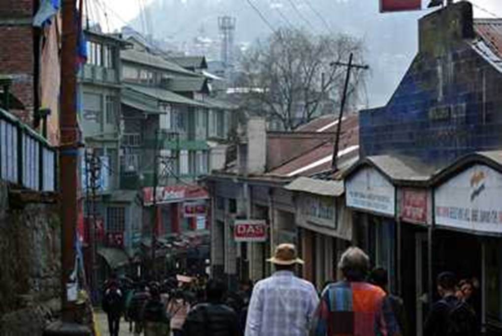
Photo by author, 2015
Colonial buildings remained. It is a witness to history.

Photo by author, 2015
The main street of Darjeeling.
The roofs of buildings are often steep.
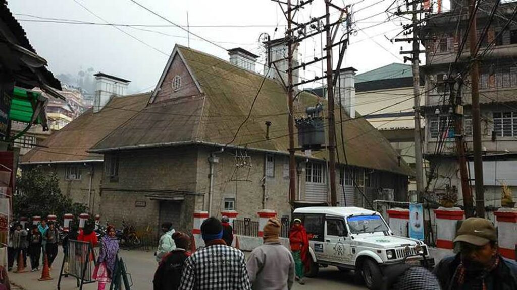
Photo by author, 2015
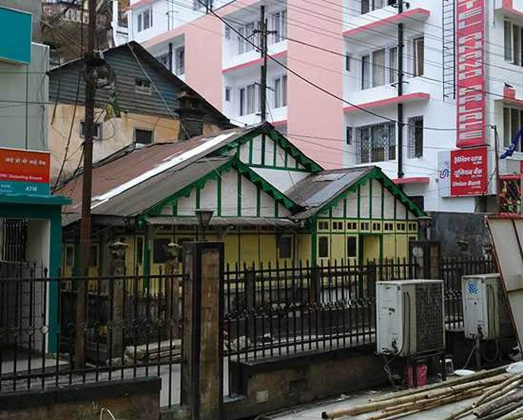
Photo by author, 2015
Dangerous Buildings
I walked through the streets of Darjeeling and entered an area that is not frequented by many tourists. Four or five-storey buildings overhang the road beyond the road boundary as you climb the floor. Beyond the narrow private land, it cuts into the road side, which is public land, and looms over. It makes you wonder if the government authorities are getting a bribe.
As in the photo below, if both sides are roads, it will be top-heavy and will likely be the first to collapse in an earthquake. It is a sight you do not want to see.

Photo by author, 2015
The building is built on a wedge-shaped site at the intersection of Y-shapes, where there is a considerable difference in height. The upper part protrudes into the road. I pray that it will still exist in 10 or 20 years.
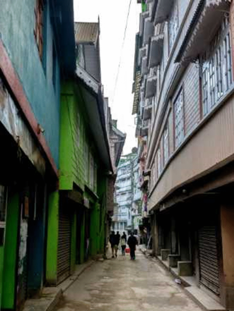
Photo by author, 2015
Darjeeling is one of the earthquake-prone areas
We decided to go around the suburbs of Darjeeling by car.
As you can see from the photo below, the slope of the ridgeline is almost 45 degrees.
The population of this area has increased so rapidly that buildings have to be built on the slopes, and there is a critical shortage of flat land that can accommodate it. In fact, there is almost none.
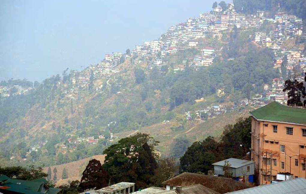
Photo by author, 2015
The foundation of this land is made up of sedimentary rocks that originally rose from the seabed.
Therefore, the foundation is not very earthquake-resistant and is vulnerable to landslides caused by heavy rain.
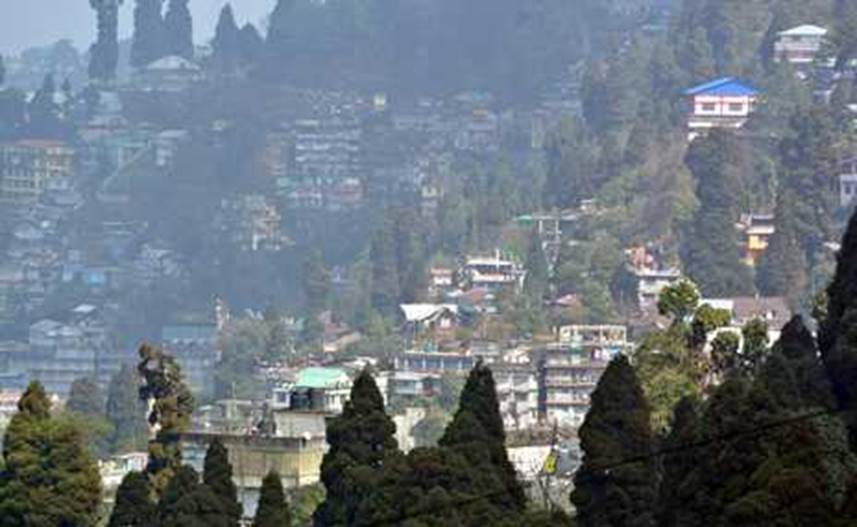
Photo by author, 2015

Photo by author, 2015

Photo by author, 2015
The buildings are piled up so that they reach the sky.
When an earthquake occurs, the only thing we can rely on is the strength of the ground.

Photo by author, 2015
A row of buildings clinging to a cliff on the side of the road.

Photo by author, 2015
A group of buildings extending below the road.

Photo by author, 2015
The main streets of Darjeeling
From the train station, go up the narrow road to the square where you can climb Nehru Road in Hokoten to get the busiest traffic.
Along the way, there are hills all the way, lined with stylish bakeries and shops selling souvenirs, antiques and textiles.
Then we reach the square, which is probably the only flat land here.
All buildings except for this plaza are built on slopes.
Geologically, the ground is said to be prone to collapse, and there is a problem with earthquake resistance.
Downtown Darjeeling.

Photo by author, 2015
Tibetan antiques are on display.
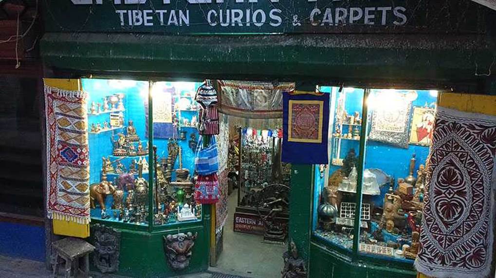
Photo by author, 2015
Darjeeling’s only square.
Darjeeling Chowrasta Mall Ground
It is the only square in Darjeeling where people can gather.
There is no other square of this size.

Photo by author, 2015
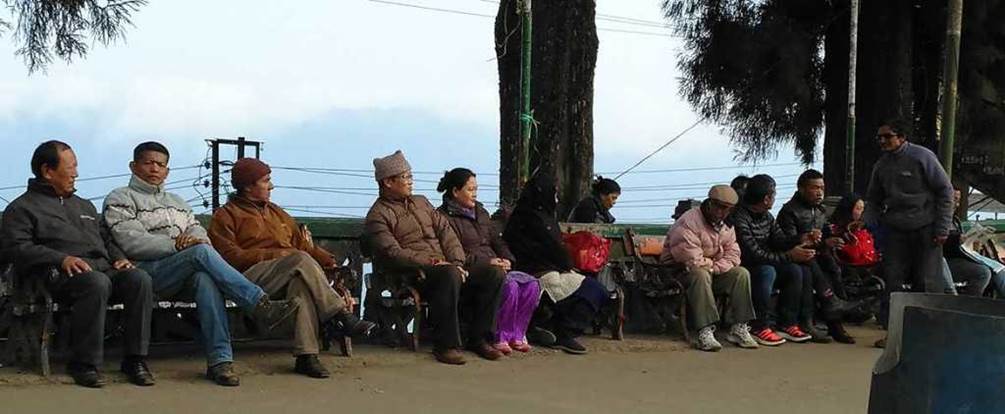
Photo by author, 2015
A group of men on the left and a group of women on the right.

Photo by author, 2015

Photo by author, 2015
Two young women concentrating on their mobile phones. An old man reading the newspaper next to them on the right.
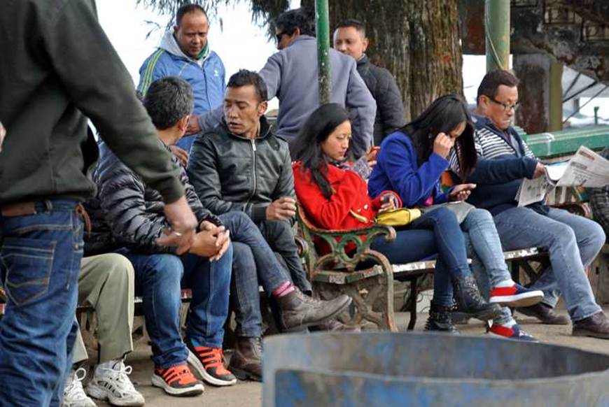
Photo by author, 2015
Darjeeling is a crucible of races and a multitude of languages
In Darjeeling, there are many languages spoken in the country.
Nepali is the majority, followed by Tibetan, Hindi, Bengali and English.
It is rare to find a town where so many of these languages are spoken in one area.
A group of schoolboys in school uniforms.
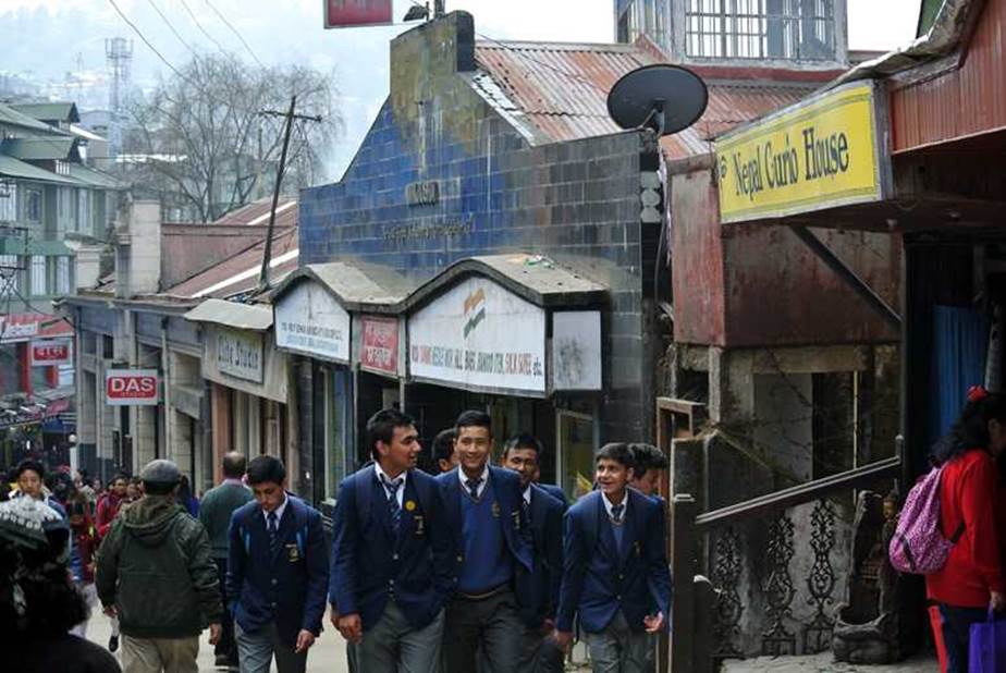
Photo by author, 2015
Group of schoolgirls in dark blue uniforms going to school.

Photo by author, 2015
Group of schoolgirls wearing maroon uniforms going to school.
They all have Tibetan features.

Photo by author, 2015
Woman selling roasted corn in the square.
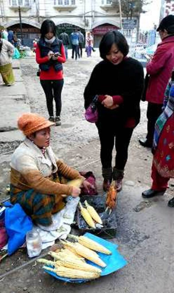
Photo by author, 2015
Local market along the side alley
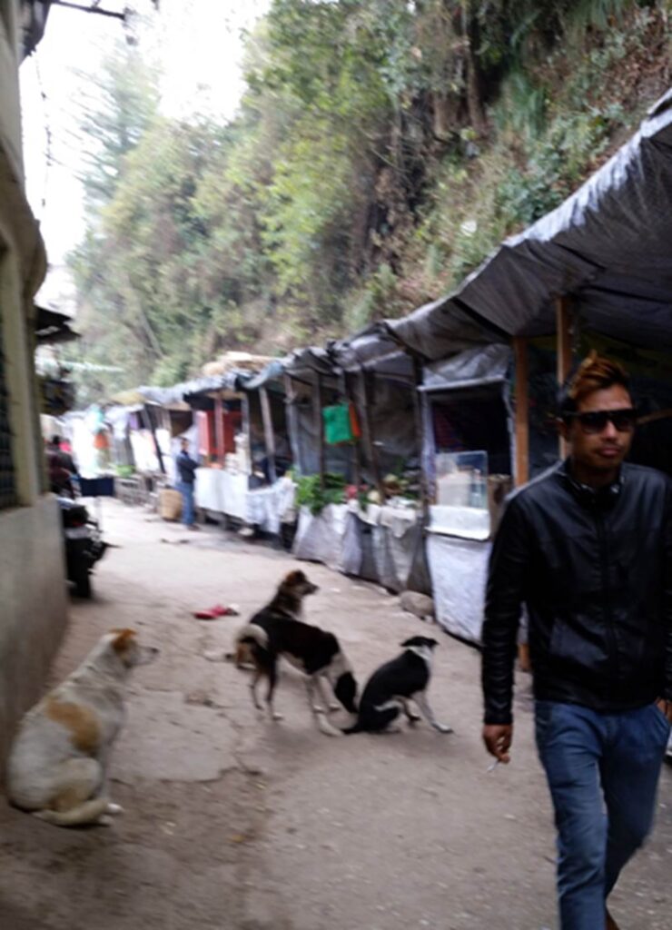
Photo by author, 2015
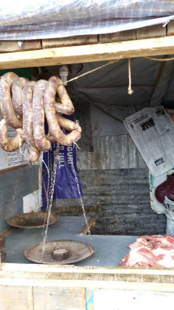
Photo by author, 2015
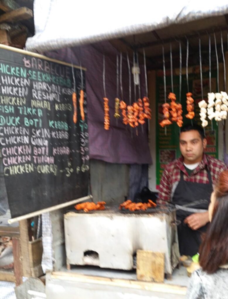
Photo by author, 2015

Photo by author, 2015

Photo by author, 2015
All photos by author, March 2015